Hiking trails
Læsø has many hiking routes and short walks for both children and adults. On this page, we have gathered the most popular routes, as well as links to some of the lesser know ones...
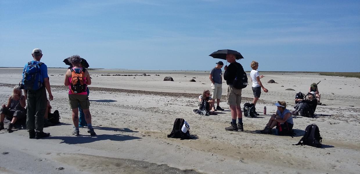
Photo:Kirsten Jensen
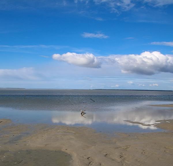
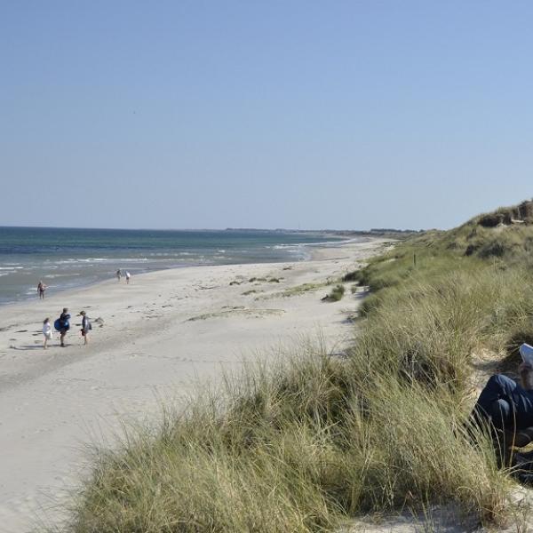
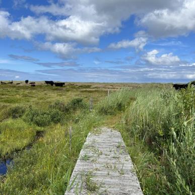
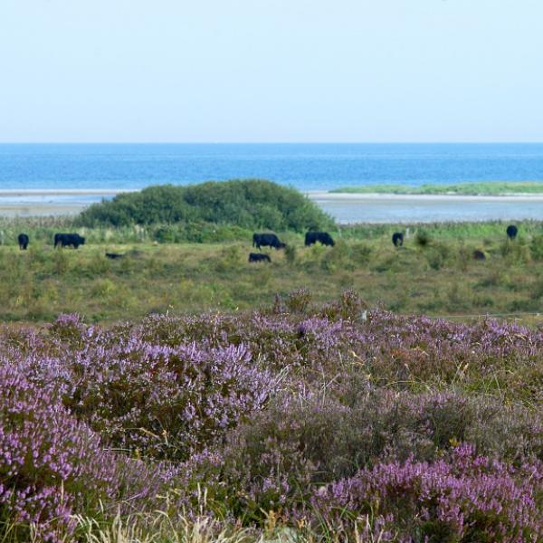
Læsø has fantastic, varied nature with many different hiking routes. As an island located in the middle of the Kattegat Sea, the coastline offers plenty of opportunities for a walk with a view across sea, each route a treat for a hiker. The sound of the crashing waves and the feeling of the fresh wind on your face is balm for the soul.
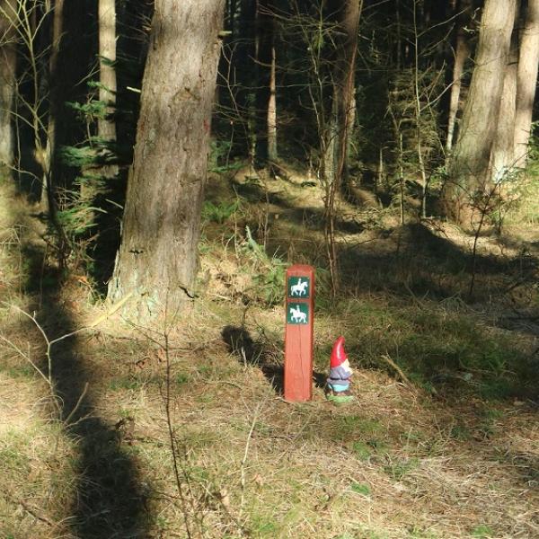
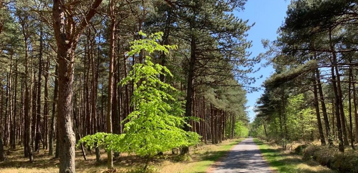
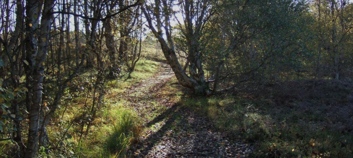
But Læsø also offers hiking routes of different terrains. In the northern part of the island, you will find Læsø Klitplantage (dune plantation), where you can take a walk in the coniferous forest and on the heathers. In the southern part of the island, you can experience the salt marshes of Rønnerne, and enjoy the history of the old saltworks. To the east, you find tall dune areas and heathers at Jegens, Danzigmann and Bløden Hale. And to the west, the nature is spotted with small lakes and smaller dunes along the beach.
The island is littered with magical walks for the whole family as well as quiet heart trails with possible rests along the routes.
The experienced hiker can choose to walk the entire circumference of Læsø on the long camino route, which takes you along the Læsø coastline, 66 km. You can read about the different routes below, and download maps and detailed information which may be useful during your trip.
Culture and nature
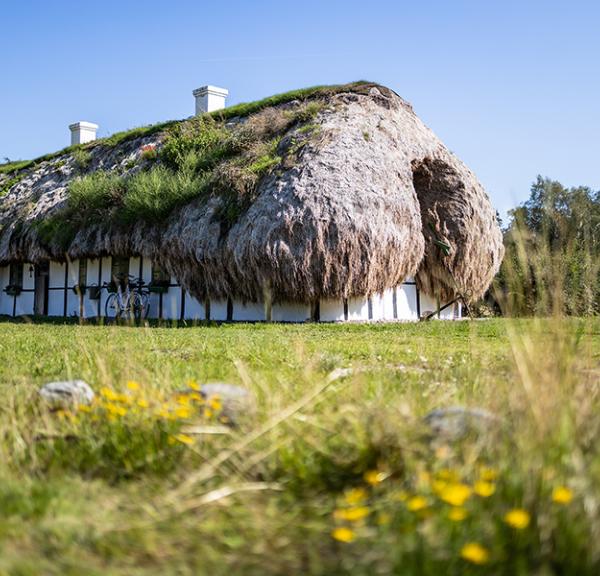
The seaweed house route in Gl. Østerby offers an insight into Læsø's cultural heritage, and further east, you can find Denmark's youngest landmass: Bløden Hale.
Three recommended hikes
More and more hiking enthusiasts visit Læsø, all of whom greatly enjoy our beautiful nature and all the hiking possibilities. Two of our guests, Tessa and Klaus, are authors of the hiking blog, Danish Hikings, and have visited Læsø several times. Now, they have included three of their hiking routes on the blog, complete with explanations, great photos and maps.
Hiking route around Læsø
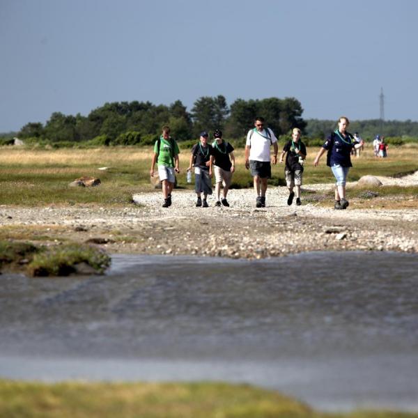
"Have you walked all the way around Læsø?" the islanders ask each other - and nod in approval, if the answer is yes. For the local scouts, this hiking route was a yearly event for many years. The scouts would sleep in nature during the trip, and the route was the "true route" all the way around "holmene" and through marshes and beach meadows.
Now, many of Læsø's guests too have discovered how wonderful it is to walk through Læsø's nature. The hike all the way around Læsø is called "Ø-Camino Læsø" and is a part of 5 island caminos: Læsø, Samsø, Ærø, Langeland and Fanø, all of which now have camino-maps for hiking routes all the way around the islands.
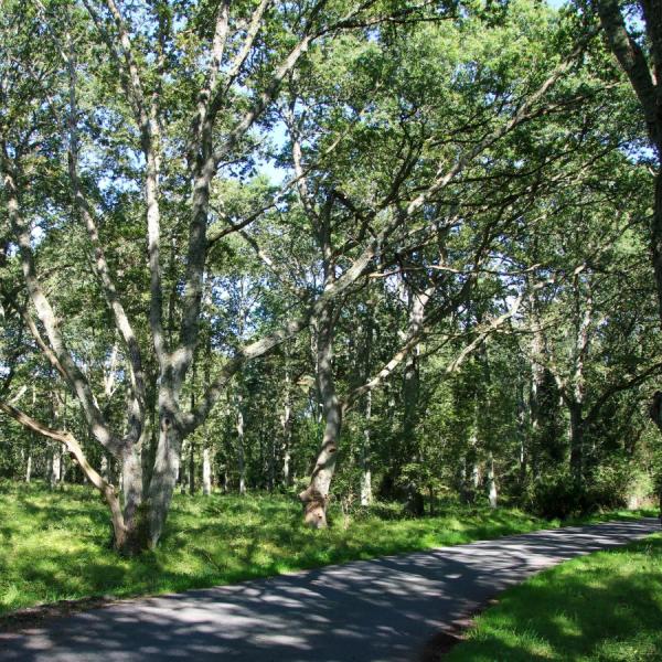
A lovely walk of 14 km from Vesterø, along the coast to the beautiful nature of Holtemmen. Then across the island through the forest to Badesøen, and from Flyvepladsvej via a trail on Remmerne and Kærene. Badesøen and Birkemosen at Kærene offer ideal resting spots along the way.
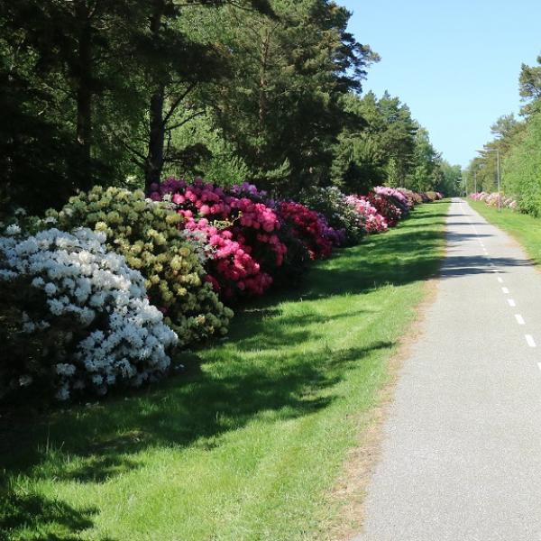
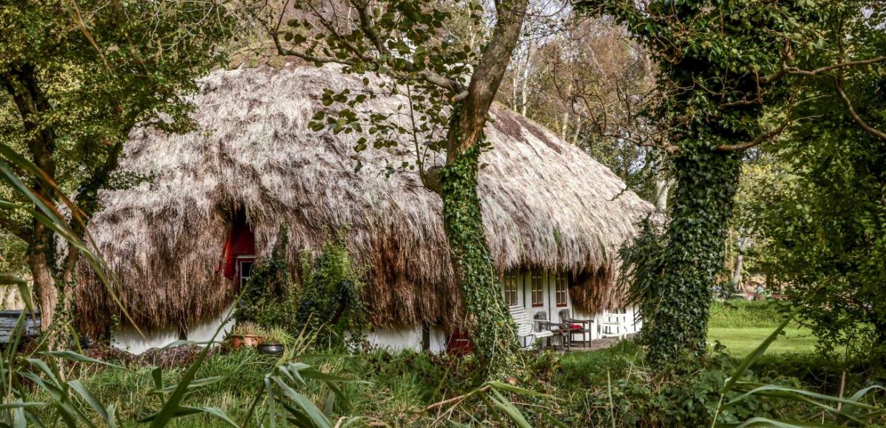
10 km through Østerby Harbour, the heathers of Jegens, the seaweed house route at Alléen, Ægir's Garden, Hedvig's House and back through the Rhododendron trails on the way home.
Læsø on Google Street View
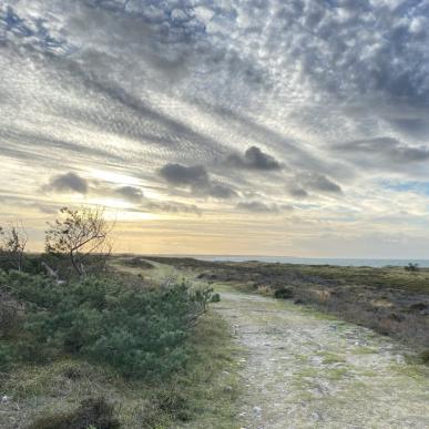
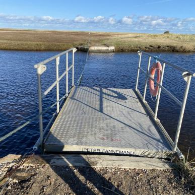
With help from Jens Peter Hansen and his company Trailview, Læsø is now on Google Street View, with all of the island's green roads; trails, tracks, forest- and field trails etc. This makes it much easier to see the terrain and the trails in detail - which is a big help, when planning one's hiking or biking trip.
The project is funded by Friluftsrådet.
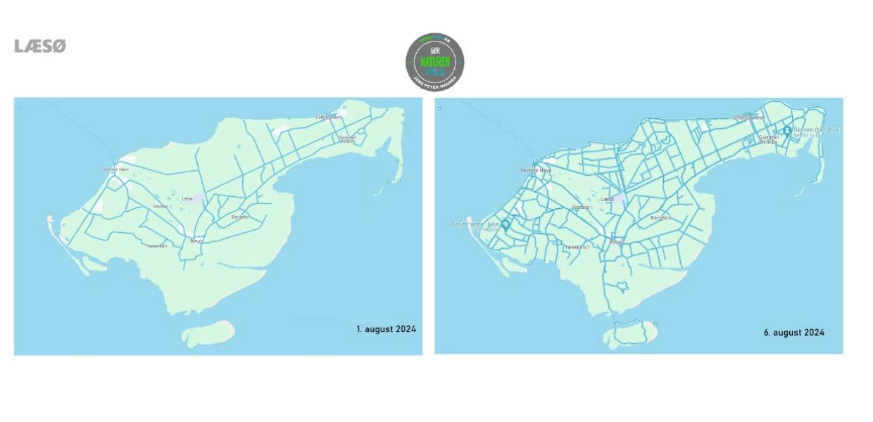
Photo:Trailview
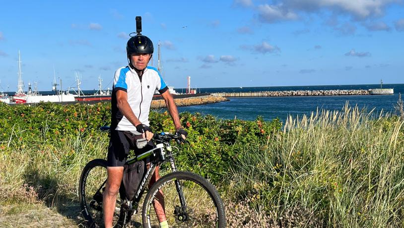
Photo:Trailview

Photo:Friluftsraadet
